
A professional world map illustrator brings together their creativity, storytelling, and data visualization skills to convert regular maps into virtual 3D experiences. Once geographical information is illustrated in 3D, it becomes more dynamic, precise, and interesting to the viewer. Different industries, such as tourism, real estate, and education, have the potential to utilize 3D map illustrations to communicate effectively. Moreover, 3D map illustrations include more than just marking locations – they emphasize terrain depth, buildings, and movement, giving viewers a different way to experience the world. Each virtual 3D map illustration is a combination of art, information, and ingenuity.
1. 3D Map Illustration in Data Visualization
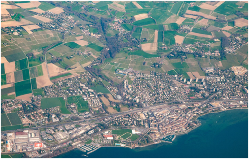
3D map illustration can support industries in converting complex datasets into interactive, visually rich models that help with understanding and comprehension. As part of many urban analytics or environmental monitoring programs, 3D map illustration can convert raw numbers into instinctive visuals, visually displaying insights that are lost in a spreadsheet.
Using visualization tools, including geographic information systems (GIS) and 3D modeling software to illustrate, designers can create dynamic illustrations that can represent population density, resource distribution, or different types of land use. The visualizations provide businesses and governments a clear and authoritative way to use data to make and inform decisions, moving from traditional formats, two-dimensional reports, to more interactive formats.
2. Custom Maps for Brands and Tourism
Custom-illustrated 3D maps are a great way to tell stories. They are geared specifically to tourism boards, travel services, and brands. A professional illustrator of world maps can develop a digital destination guide that allows travelers to see landmarks, routes, and attractions in an interactive way that is engaging. Custom maps are a way for brands to share their locations in engaging ways for digital marketing, visitor centers, and immersive presentations. 3D illustrated maps can also integrate motion graphics and animations in ways that draw audiences to engage more or a little deeper, while offering another medium to experience a location even before getting there.
3. Cartographic Art and Educational Use
Educational institutions of museums employ world map illustrators, like cartographic artists, to illustrate new geographic learning materials, while creating an appealing visual tool for the curriculum. The use of significant artistic designs in 3D illustrations has a positive impact on teaching and learning about geography, combining both visual appeal and accuracy.
Interactive maps also inspire curiosity and understanding among learners. However, the purpose is to illustrate learning more visually, so that information is assumed through greater visuals; placing complex information into improved comprehension of geographic concepts like tectonic movements, river systems and political boundaries, can make it less obfuscated and easier to learn and recall.
Benefits of 3D Map Illustration:
- Increases static Visual Maps to interactive Cues
- Moves difficult data into a visual representation, easy to depict
- Improves decision-making in planning and strategy for major concepts
- Improves effective storytelling into brand development and marketing
Enhances teaching qualities with visual means for immersive geographic visuals
3D map illustrations are an incredible vehicle for representation across multiple sectors and commercial occupations. From supporting educators in response practices to prospective planning for future study conducted by urban planners and global marketing campaigns, this visual creativity couples a visual aspect with practicality. Every world map illustrator employs the most advanced visualization, illustrating responsive analysis to move abstract notions into practiced stories.
1. The Impact of Technology on Modern Map Illustration
Modern 3D map illustrations use the latest computer software, like Blender, AutoCAD, and geographic tools and techniques. These technologies enable a world map illustrator to render accurate topography, textures, and lighting to create functioning designed maps.
The creation of maps has been transformed by technology through automation and accuracy. Illustrators can take real-world data into 3D designs from satellite data to LiDAR scanning, which allows designers to capture the record of the Earth accurately and artistically, thus retaining the essential aesthetic appeal of traditional hand-drawn maps.
2. The Preference Brand’s 3D Map Visualization
In a digital-first world, brands want visuals to enthrall their audiences immediately, drive their actions, and serve as a powerful association for the brand’s credibility. 3D map illustrations offer an opportunity for brands to visualize their global and retail locations, as well as logistics routes with interactive storytelling.
For instance, tourism companies develop 3D maps that present long-range destination overviews, and real estate firms that utilize a 3D map to recreate the layout for a given property. Realistic visualizations make campaigns more engaging to their customers and help them make an informed decision much faster. A 3D map provides brands with an innovative level of visual stimulation surpassing 2D flat visuals.
3. 3D Maps in Project Presentations
Presentations for projects often depend on visuals to communicate spatial data more effectively. 3D maps allow project teams to visualize realistically significant project phases, designs proposals, and impacts on the environment. Stakeholders may view designs in 3D, facilitating a greater understanding of the project from various perspectives and are therefore transparent in both communication and presentation of design.
3D maps greatly assist technical discussions, particularly for decision-makers assisting with constructs to visualize design outcomes before physical construction and/or development commences.
Final Thoughts
3D mapping illustration is changing the way we think and engage with location data. A professional world map illustrator can turn your raw data into engaging, data-driven images that can improve the way people learn, plan, and communicate. Whether it is in an educational context, a product offering, or an environmental study, these maps communicate between thinking and data, giving the viewer a dynamic new way to appreciate the world around them.
FAQ
1. What does a world map illustrator do?
A world map illustrator uses a combination of art and data visualization to produce a set of complex two and three dimensional maps for a number of industries, including tourism, architecture, and education.
2. How is a 3D map illustration different from a traditional mapping?
3D maps are illustrated to depict realistic height, depth, and interactivity that encourages users to visualize different terrains and structures, unlike flat maps.
3. What programs do professionals use to create 3D map illustrations?
Blender, GIS, Adobe Illustrator, and AutoCAD are popular programs for producing effective, accurate, and artistic 3D maps.
4. Where are 3D map illustrations most useful?
3D maps are effective in any field, but especially in tourism, real estate, gaming, education, and environmental analysis.
5. Why should brands hire a professional world map illustrator?
A professional ensures precision, visual appeal, and storytelling consistency, helping brands and planners deliver impactful visual experiences that inform and inspire.